

GeoKeeper
GeoKeeper is an app that supports Indigenous communities conducting Community Based Monitoring programs by providing for offline and remote data collection on hand-held devices.

GeoKeeper - The App
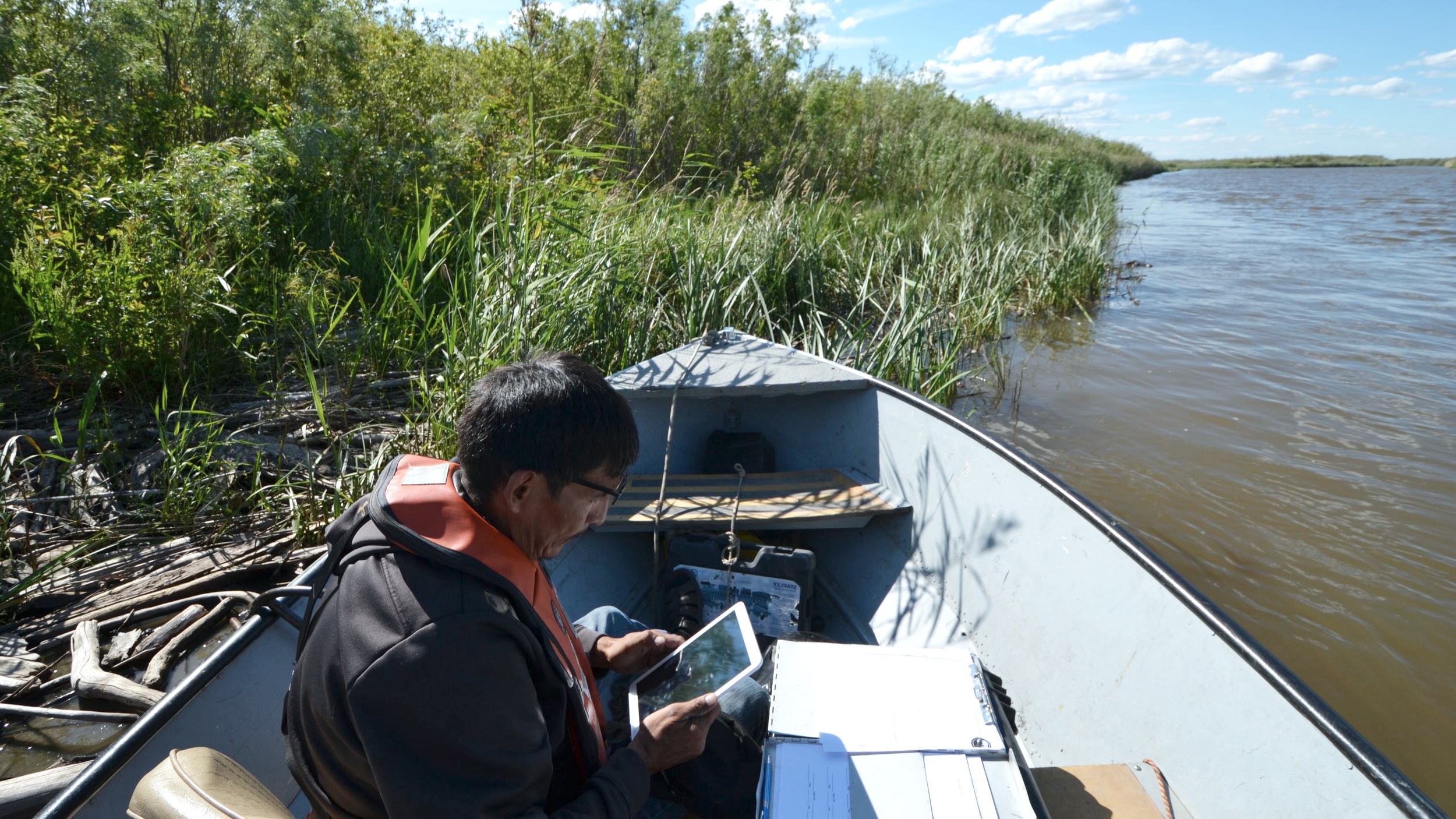
GeoKeeper turns your hand-held device into an all-in-one data collection tool. Whether offline or online, community researchers are able to collect data in the field with GeoKeeper’s custom survey forms while simultaneously recording GPS tracks in real time.
GeoKeeper has surveys for archaeology, water quality, water quantity, winter conditions, wildlife monitoring, and more. Use your phone or tablet’s GPS to grab your location when creating records and use the device’s camera to record photos of what you see. All records collected using GeoKeeper become one succinct multi-media bundle that is then pushed to the GeoKeeper Server when you are back online.
GeoKeeper - The Server
Data collected with GeoKeeper is pushed from the handheld device to a central server that allows administrators to review, filter, and export data as spreadsheets and map files. This data can then be easily imported to the Community KnowledgeKeeper (CKK), allowing CKK users to review, analyze, and assess data coming from field researchers. In this way, the CKK can be kept up-to-date with current and ongoing research.

GeoKeeper is collaboratively funded and developed by Indigenous communities with similar research and monitoring objectives. Kwusen worked with software developers Affinity Bridge, the Mikisew Cree First Nation and the Athabasca Chipewyan First Nation to develop GeoKeeper and associated software tools.

