
GeoKeeper monitoring work in Peace-Athabasca Delta featured on CBC
The Kwusen team is excited to see the important work of the Indigneous monitors in the Peace-Athabasca Delta highlighted on the national level in a CBC interactive feature published last month. Kwusen has had the privilege of working with the Athabasca Chipewyan Community-based Monitoring and Mikisew Cree First Nation Community-based Monitoring programs through our mobile field app, GeoKeeper, for over 7 years. In fact, the app was initially developed for Mikisew Cree First Nation (MCFN) and Athabasca Chipewyan First Nation (ACFN).
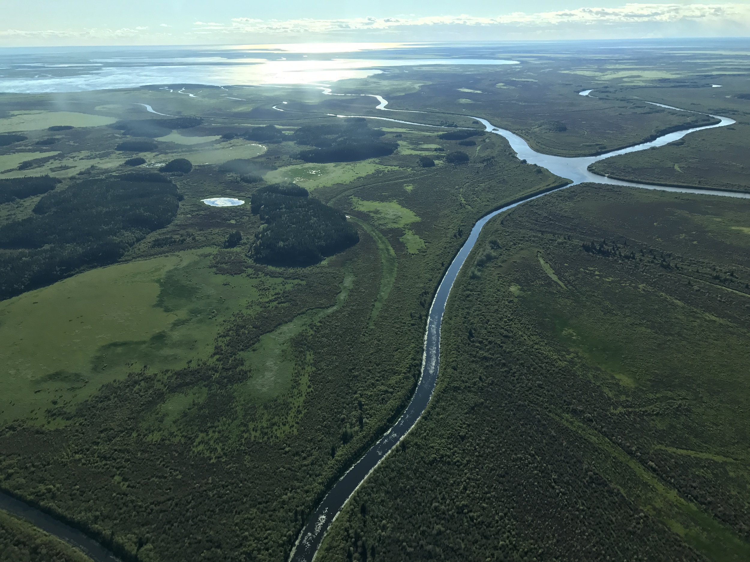
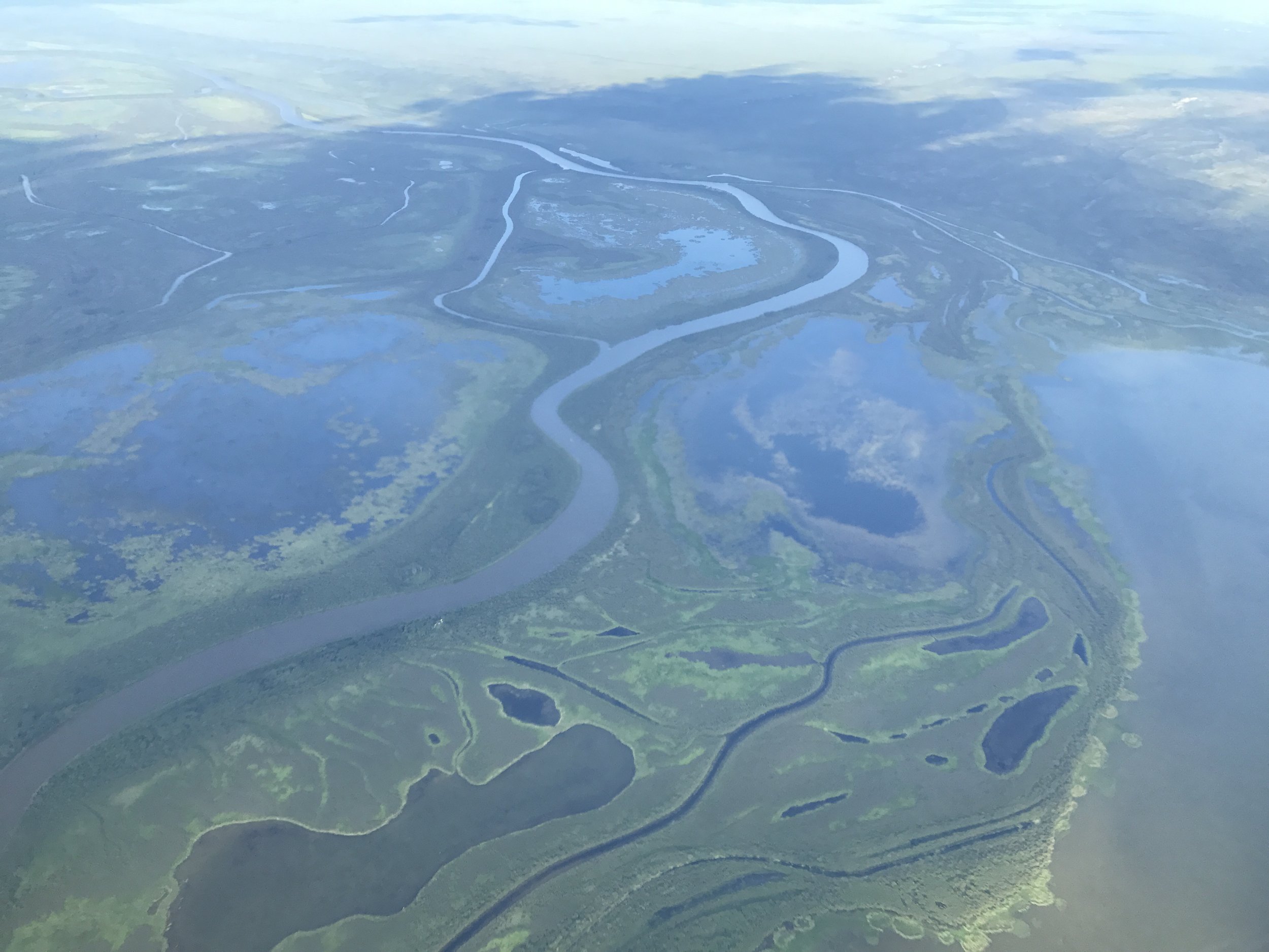
The Peace-Athabasca Delta covers a vast area in northeastern Alberta, providing a vital transportation network with unique requirements for the communities who use boats, planes, and ice roads to get around depending on the time of year. The CBC article outlines environmental shifts in the large wetland complex (an area downstream from the oil sands and hydroelectric dams) – changes that land users see occurring at an unprecedented rate and whose impacts affect everything from navigation to food resources.
MCFN and ACFN have monitored these environmental shifts in their territory through CBM programs for over a decade, tracking and reporting on changes in temperature, depth, and quality throughout the freshwater delta–which is the second largest in the world.
GeoKeeper is used and informed to this day by their teams who are collecting data in the Delta under CBM, Guardian, and public observation programs. In addition to environmental monitoring surveys that use Indigenous Knowledge and western scientific indicators, GeoKeeper is used to record navigational hazards, incidents of unwanted land use such as trespassing or illegal hunting, wildlife sightings and more while out on the land.
“When we have paper and pen, we have to go back to town and get on our computers and spreadsheets and enter everything in and send it out. Using GeoKeeper, we digitally record everything as we are going and upload it at the office. It makes it less work for us for when we return back to Fort Chipewyan.”
The consistent recording of land-based information in the region culminates in a rich community-driven dataset, one that will only continue to grow as monitoring efforts carry on and expand.
We’re glad we can provide data collection and management support to these and other programs through the GeoKeeper app.
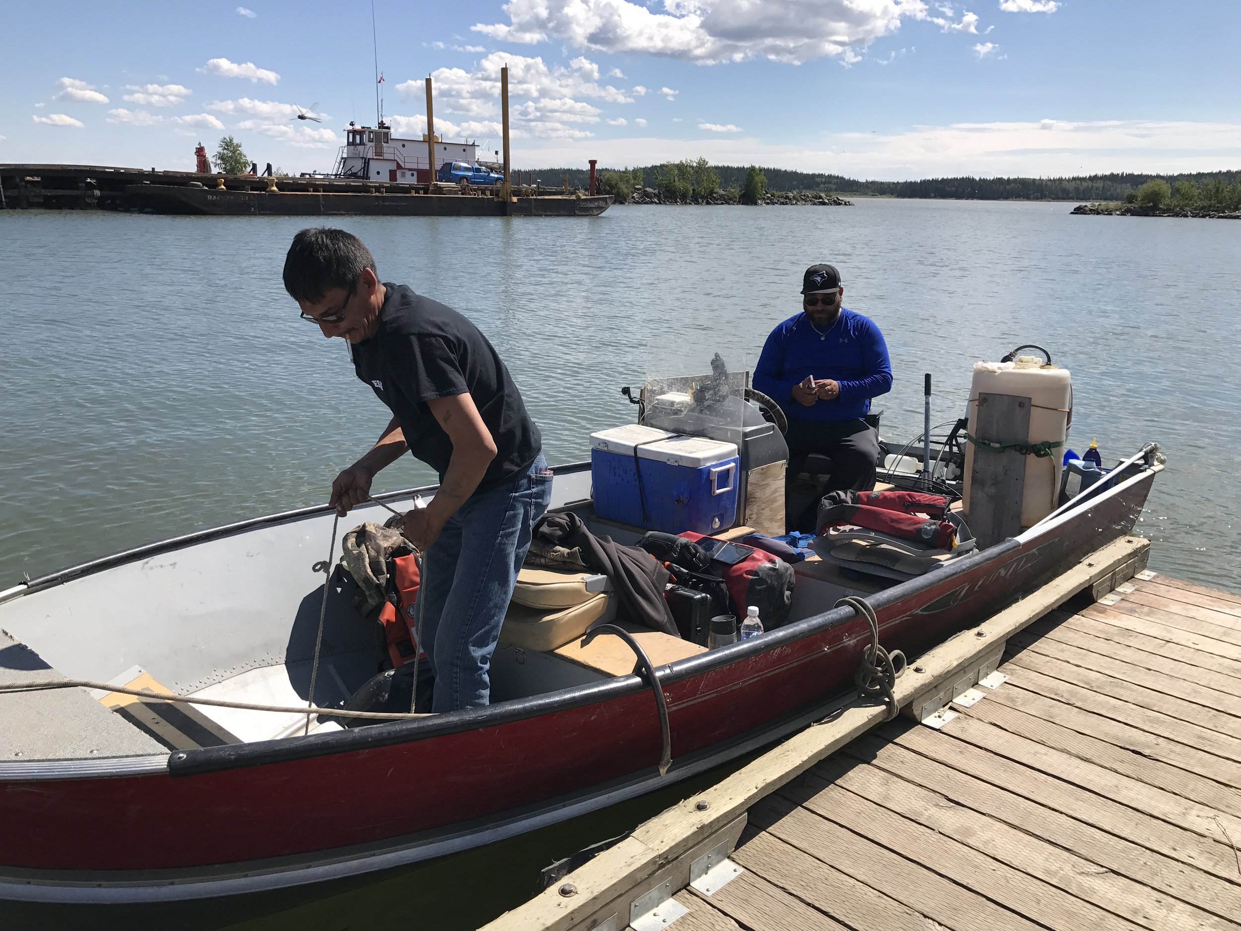
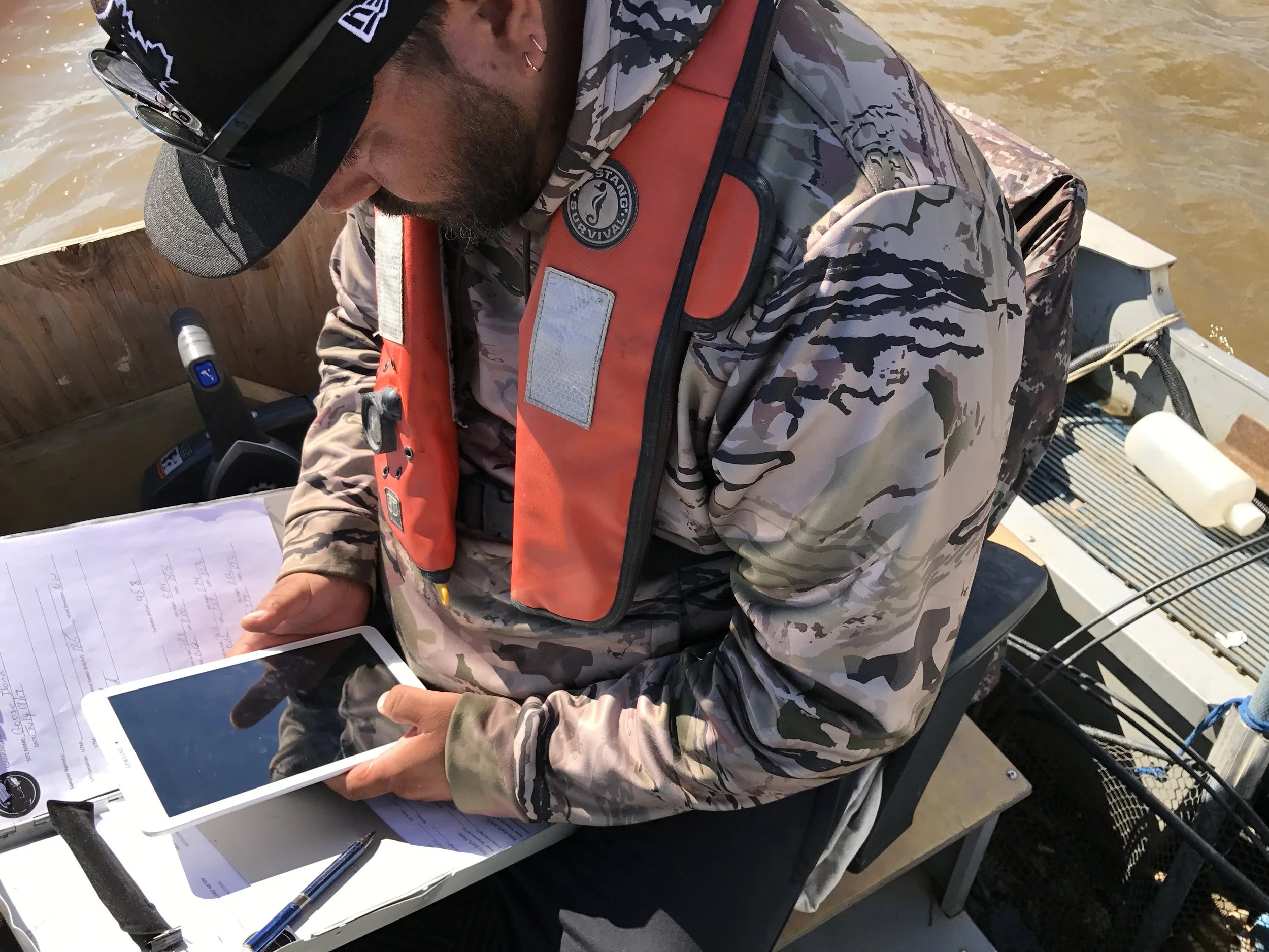
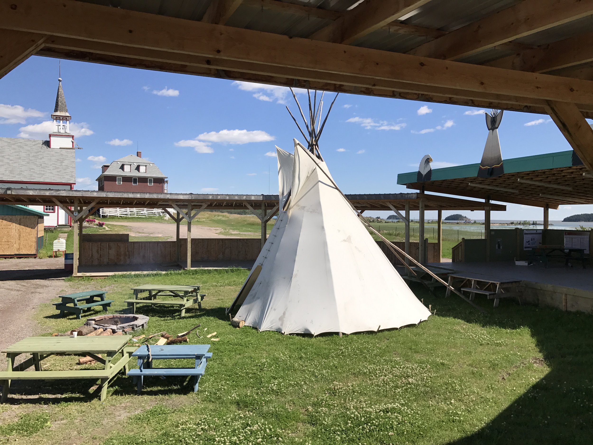


Photos from the official launch of GeoKeeper in Fort Chipewyan in July 2017.